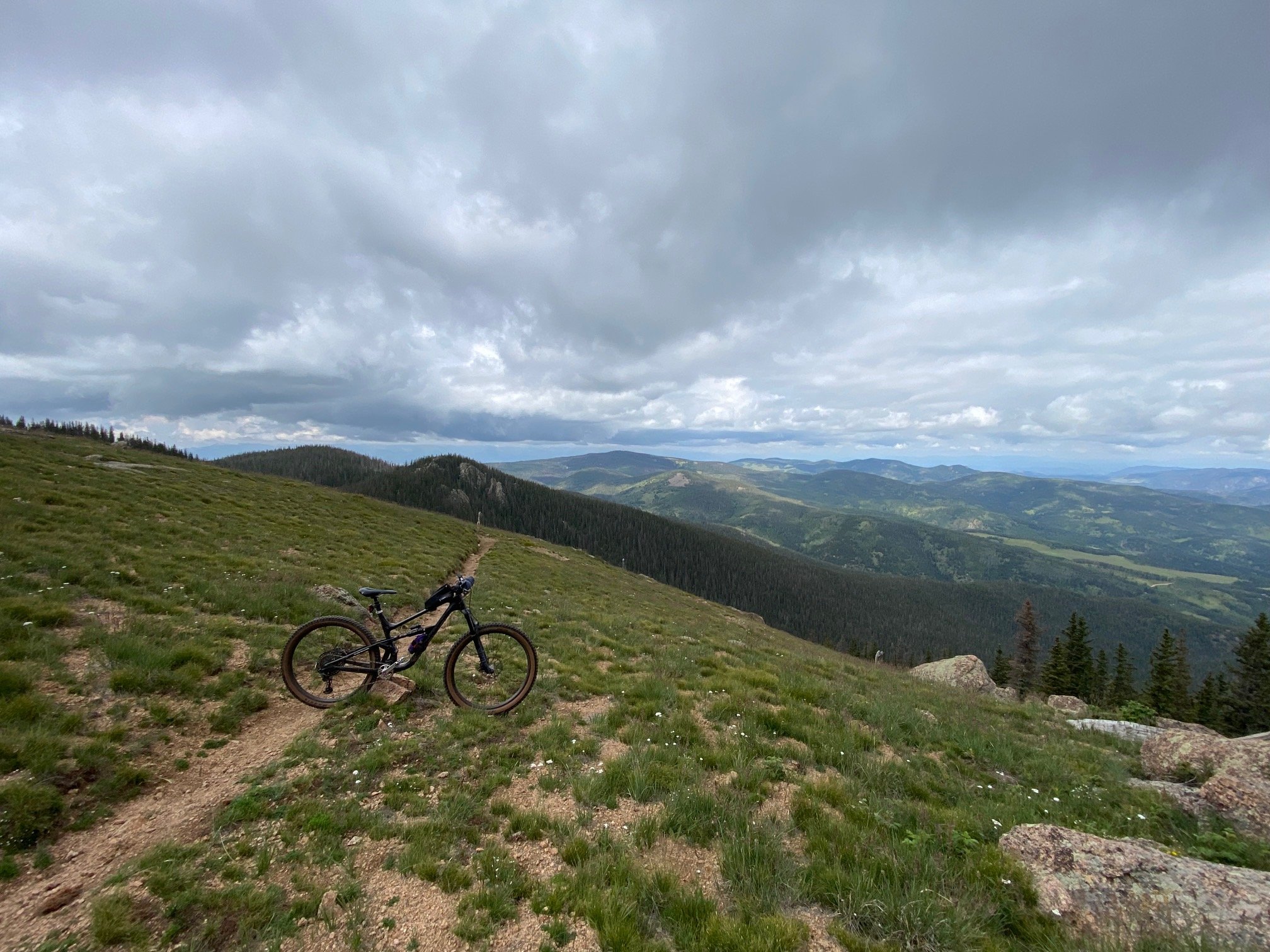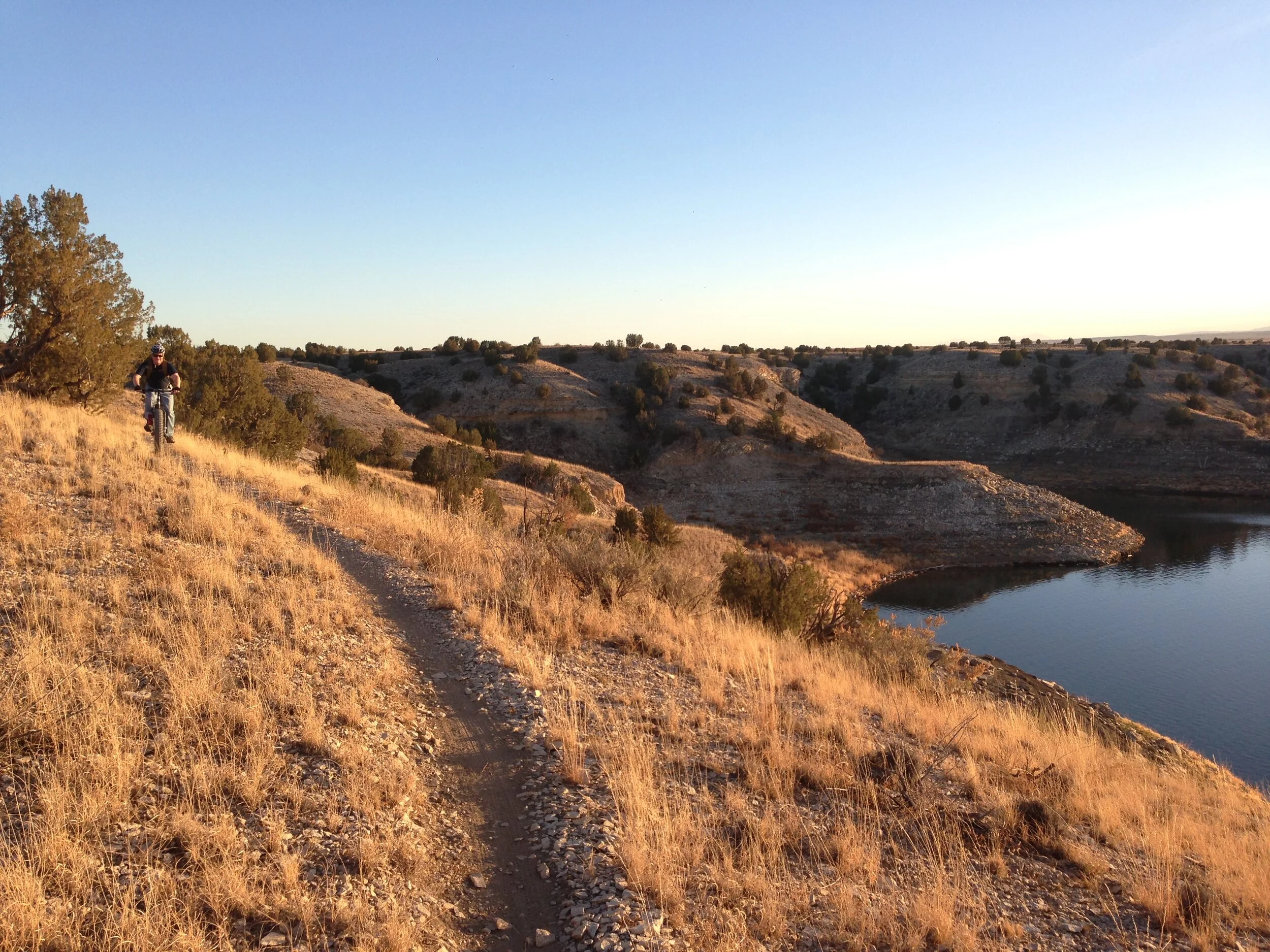
Big Climb / Technical Descent
39 miles
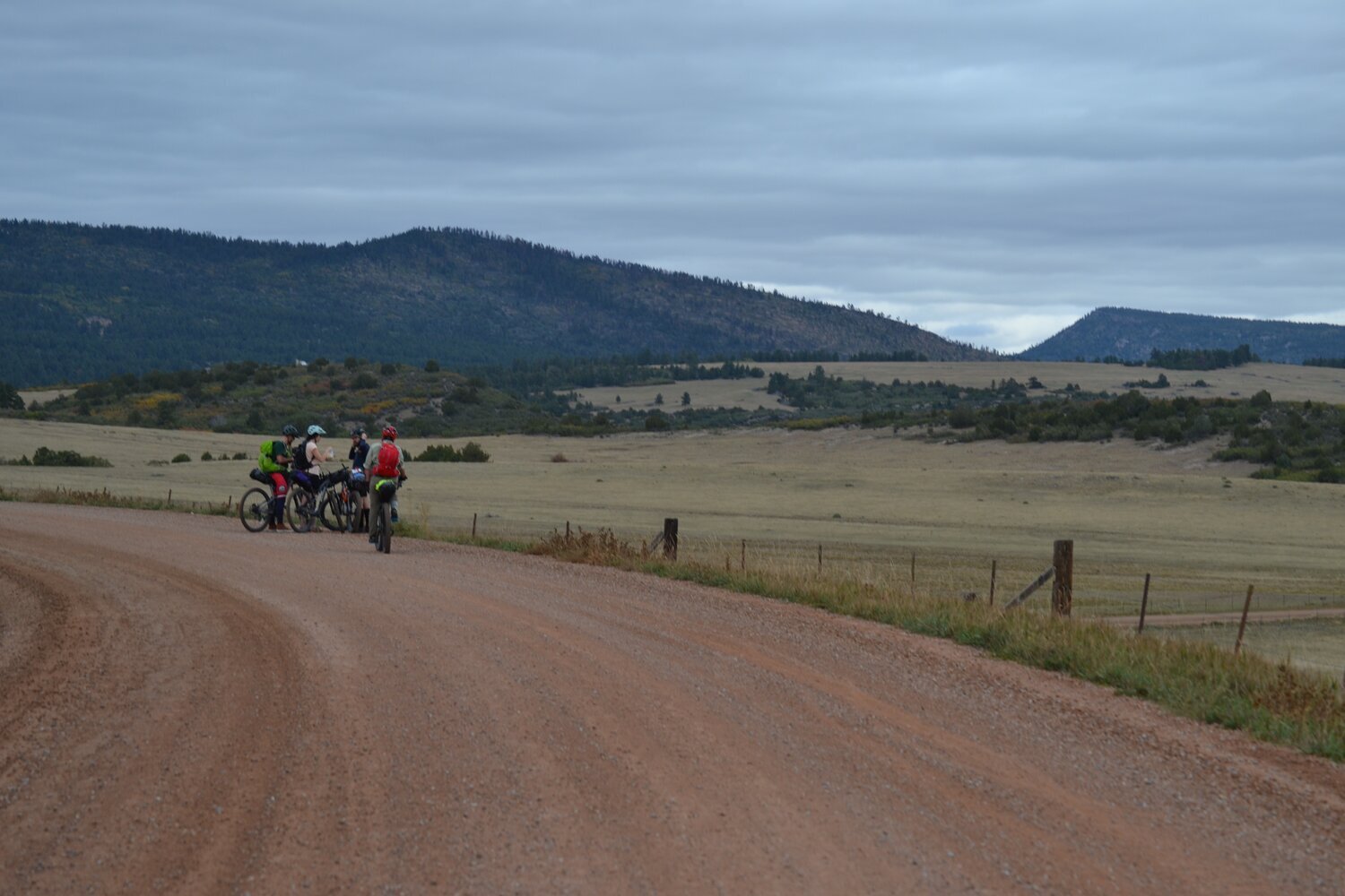
Bike
This route is two massive climbs followed by very steep, sustained, and technical descents on very rough trail. That about sums it up. We can’t recommend it. Yet here it is.
NOTE: Lots of climbing and very technical descending. Bring snacks and enough water/filtration. This route is advanced and shared for reference only. Ride at your own risk and walk sections as necessary. Check route conditions and follow standard traffic laws and trail protocols.
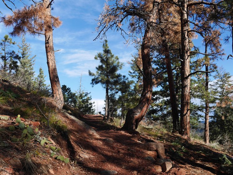
Getting there: Park at the Pueblo Mountain Park. Head down to Pine Drive (the road you came into the Park from) and head uphill (west). The road will turn to dirt….then climb and climb and climb and climb.